
Watching over the world’s mangroves
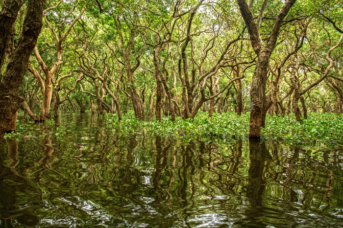
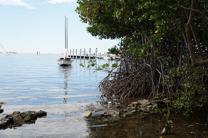
Mangrove forests are among the planet's most valuable ecosystems. Found along tropical and subtropical coastlines, they protect communities from storms and erosion, store vast amounts of carbon, support fisheries, and provide vital habitats for wildlife.
Yet despite their importance, mangroves continue to be under pressure from human activity and environmental change. Understanding where these forests are thriving, where they are disappearing, and how they are changing over time is essential for protecting them.
For the past 15 years, Dr Pete Bunting, Reader in Remote Sensing at Aberystwyth University, has been helping the world do exactly that.
Creating a global picture of mangrove change
Dr Bunting is a driving force behind the mapping which goes into the Global Mangrove Watch, an international collaboration that has transformed the way mangrove forests are monitored worldwide.
Using advanced satellite imagery, artificial intelligence and software developed at Aberystwyth University, he has helped create the most comprehensive record of mangrove ecosystems ever produced. The platform provides detailed maps that show where mangroves exist and how they are changing.
Dr Bunting explains:
"Mangroves offer an important and valuable set of ecosystem services, but despite their ecological and economic importance, they continue to face pressure from both human activities and natural processes.
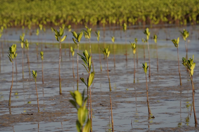
"Human-driven impacts include the clearance of mangrove forests for aquaculture developments such as shrimp farming, agricultural expansion for crops including rice and palm oil, and coastal infrastructure projects such as port construction. At the same time, mangrove ecosystems are continually reshaped by natural coastal processes such as erosion, sediment deposition and shoreline movement. This has also resulted in considerable gains in mangrove ecosystem extent in some regions."
Turning research into action
A key achievement of Global Mangrove Watch has been translating complex scientific data into practical tools used by governments, conservation organisations and local communities.
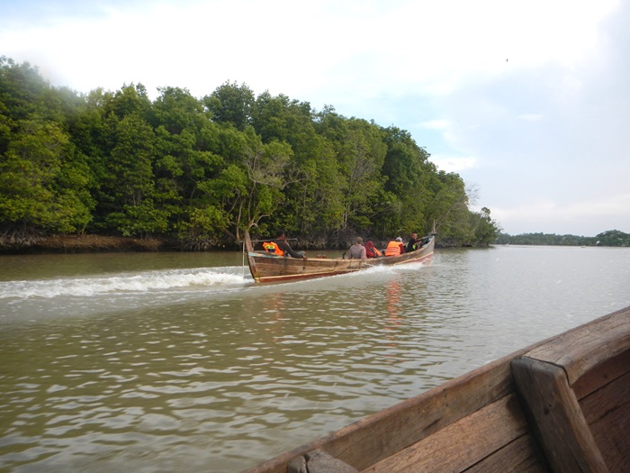
In addition to providing global maps of mangrove extent, the platform delivers near real-time alerts when mangrove loss is detected. These alerts enable rapid responses to emerging threats, helping decision-makers take action before further damage occurs.
The research has moved beyond academic understanding to become a resource that supports environmental protection on the ground.
Influencing global conservation policy
The impact of Dr Bunting's work now extends across international environmental programmes and policy frameworks.
Data from Global Mangrove Watch is used by the United Nations Environment Programme to support reporting against the Sustainable Development Goal Indicator, which focuses on protecting and restoring water-related ecosystems.
The datasets are also integrated into global platforms including UN Ocean+, Global Forest Watch and Resource Watch, giving policymakers, researchers and conservation practitioners the evidence to guide restoration and management efforts.
Building capacity around the world
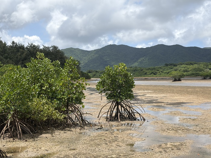
Dr Bunting's impact is not limited to producing datasets. Working with partners in countries including Kenya and Thailand, he has helped local organisations develop their own monitoring capabilities.
By making advanced environmental monitoring more accessible, the project helps ensure that those closest to mangrove ecosystems can play a leading role in their protection.
Revealing four decades of change
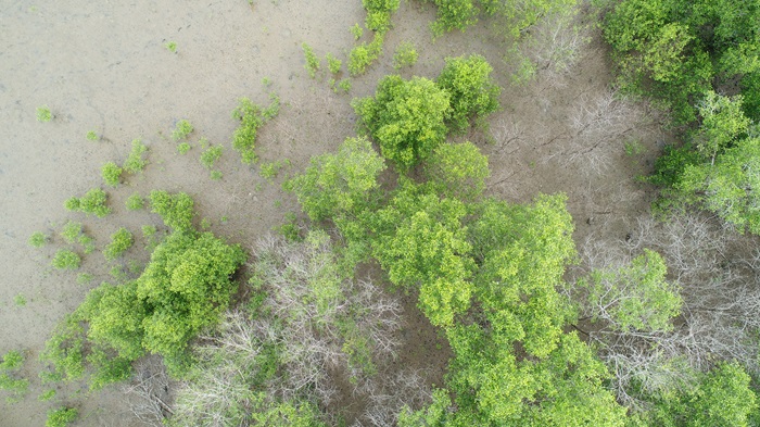
One of the most significant recent developments has been the creation of a new dataset, Global Mangrove Watch version 4.1, providing annual global maps of mangrove extent from 1985 to 2025.
This record allows researchers to track changes year-by-year and gain a far more detailed understanding of how mangrove ecosystems are responding to both human pressures and natural coastal dynamics.
Dr Bunting explains:
"The new annual dataset means we can understand mangrove change in far greater detail than ever before. Our analysis shows that while significant losses have occurred—around 60% of which can be attributed to human activities—we have also seen substantial gains through natural regeneration, restoration projects and the creation of new coastal habitats."
These gains are the result of successful restoration efforts and natural regeneration. In many locations, sediments carried downstream from river catchments have accumulated along shorelines, creating new areas of land that have subsequently been colonised by mangroves.
For Dr Bunting, this discovery highlights the value of long-term monitoring and raises important new questions about the relationship between coastal ecosystems and the wider landscape:
“While the expansion of mangroves may appear to be a positive story—and in many cases these gains have helped to offset losses elsewhere—it is important to consider the broader environmental context, such as where these sediments are coming from, and the implications for the wider catchment.
“If increased sediment loads are linked to activities such as deforestation, mining or other forms of land degradation upstream, then the apparent gains in mangrove area may come at a significant ecological cost. Understanding these connections is therefore crucial to assessing the true sustainability of the changes we are observing.”
These findings demonstrate how the annual mangrove record is informing a new generation of environmental research. By linking changes observed on coastlines to processes occurring further upstream, the work is helping scientists build a more complete picture of how human activities shape ecosystems across entire landscapes.
Global impact from Aberystwyth
As climate change accelerates and pressure on coastal environments grows, the need for accurate, timely information about mangrove ecosystems has never been greater.
From his office on Aberystwyth University’s Penglais Campus, Dr Pete Bunting has helped create a globally trusted resource that is changing how mangroves are monitored, protected and restored. With the help of satellite technology, artificial intelligence and international collaboration, his research is providing the knowledge needed to safeguard these critical ecosystems for future generations.
Further Information
Use the following links to find out more:

Get in touch
As a University, we’re always keen to share our knowledge and expertise more widely for the benefit of society. If you’d like to find out more or explore how you can collaborate with our researchers, get in touch with our dedicated team of staff in the Department of Research, Business and Innovation. We’d love to hear from you. Just drop an e-mail to: