A multi-temporal inventory of Greenland’s independent ice caps and stand-alone glaciers
Co-advisors:
Holt, Tom; Prof Neil Glasser; Dr Andy Hardy.
Background:
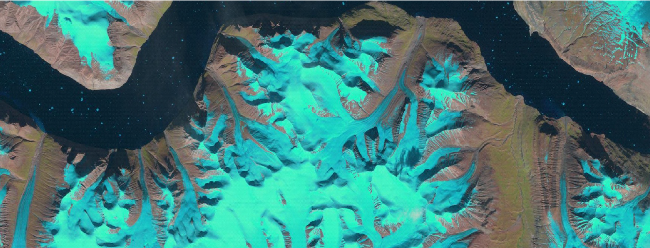
Ice loss to the sea currently accounts for virtually all of the sea-level rise that is not attributable to ocean warming, and about 60% of this ice loss is from glaciers and ice caps rather than from the ice sheets in Greenland and Antarctica. The contribution of these smaller glaciers has accelerated over the past decade, in part due to marked thinning and retreat of marine-terminating glaciers associated with a dynamic instability that is generally not considered in mass-balance and climate modelling. Glacier inventories provide the scientific community with key information (e.g. location, extent, change through time), yet glacier characteristics (for example snow-line altitudes, surface albedo, glacier hypsometry and flow dynamics) are often absent from such databases. The aim of this research is to investigate recent changes in Greenland’s independent ice caps and stand-alone glaciers by developing a multi-temporal glacier inventory of these ice masses. In order to make a multi-temporal glacier inventory of Greenland’s independent ice caps and stand-alone glaciers using remote-sensing data and methods there are several broad avenues of research which potential PhD students may wish to consider:
- Developing automated classification schemes to map and monitor glacier extent and glacier surface characteristics.
- Examining the spatio-temporal response of Greenland’s ice caps with respect to climatic changes, for example through changes in snowline elevation and ELA’s and using novel remote-sensing methods to look at changes in extent of seasonal surface melt.
- Assessing the multi-temporal dynamic regimes of Greenland’s ice caps, for example using interferometry and surface feature tracking.
- Evaluating glacier albedo and surface characteristic changes over time.
- Using high-resolution Digital Elevation Models (DEMs), for example from historical aerial photography and satellite images, to investigate ice-surface elevation changes on Greenland’s independent ice caps and stand-alone glaciers.
Personal specification:
Essential:
- An undergraduate degree (II:i or higher) in any Physical Geography, Earth Science or Computer-Science related subject.
- Experience in using remote sensing and GIS software.
Desirable:
- A Masters degree awarded at the Merit level or higher in any Physical Geography, Earth Science or Computer-Science related subject.
- An understanding of programming languages, or the desire to learn.
Further information:
For further information specific to the project, please contact Tom Holt (toh08@aber.ac.uk), Neil Glasser (nfg@aber.ac.uk), or Andy Hardy (ajh13@aber.ac.uk).
For application forms and procedures, please go to the Department’s Postgraduate Student webpage and the University’s Postgraduate Student webpage.
Your application form needs to be accompanied by two references (although these can be sent separately following the form if time is tight) and a research proposal, typically of a few sides of A4 outlining your project's key aims. Please feel free to use the outline above as a framework for the research proposal.
The deadline for applications to be considered for funding is January 31st of each year.