Earth Observation Laboratory
Welcome to the Earth Observation and Ecosystems Dynamics Laboratory. We aim to address some of the World's most important environmental challenges through the use of Earth Observation data and advanced image analysis techniques.
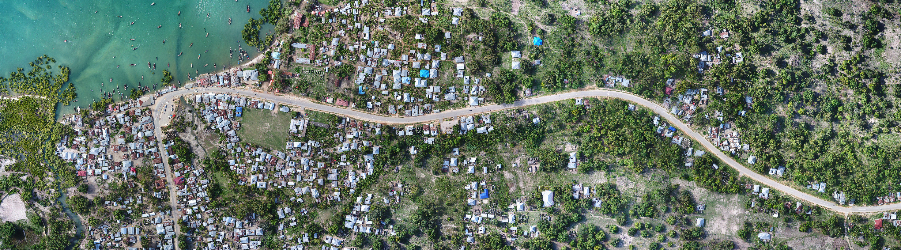
Our cutting-edge approaches push the frontiers of Earth Observation as well as other disciplines including habitat conservation and enhancement, public health, carbon mapping, climate change, environmental monitoring and protection, and many others. Our research is worldwide and covers a diversity of environments from tropical rainforests and mangroves to high altitude glaciers.
Our computer and field-based facilities, including a suite of drone systems, represent a major resource within the Department of Geography and Earth Sciences (DGES) which gives staff and both undergraduate and postgraduate (MSc and PhD) students access to state-of-the-art computing facilities and software available for data processing. Training in remote sensing theory and also practical use of remote sensing and Geographical Information System (GIS) software is provided.
Our projects involve working closely with various agencies, initiatives and governments across the globe including: The European Space Agency (ESA), The Japanese Aerospace Exploration Agency (JAXA), The National Aeronautics and Space Administration (NASA), Welsh Government, Geoscience Australia, Wetlands International, Mangrove Capital Africa, the Ministry of Health, Zanzibar.
We receive funding from a range of sources including UK Research and Innovation, European Union, Bill & Melinda Gates Foundation, Wetlands International, Welsh Government, European Space Agency, UK Space Agency.